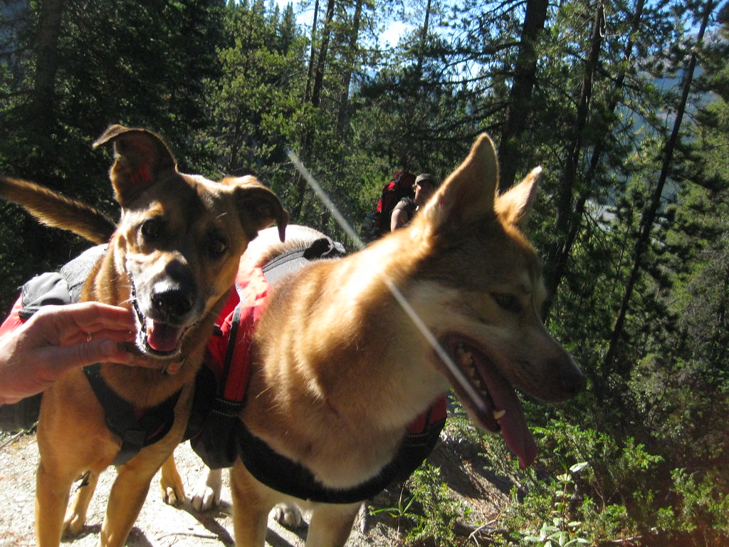
With work and running I get to spend a lot of time outdoors. I don't, however, spend nearly enough time in the mountains, especially outside of ski season - Edmonton is just a little too far away for a last minute trip to be convenient. Thankfully our good friend Cris is a planner and a motivator. Hence the second annual weekend-in-the-mountains-with-dogs backpacking trip.
The requirements for this trip are few: 1) mountains, 2) a nice campground,
preferably on a lake, that can be reached in a single, moderately
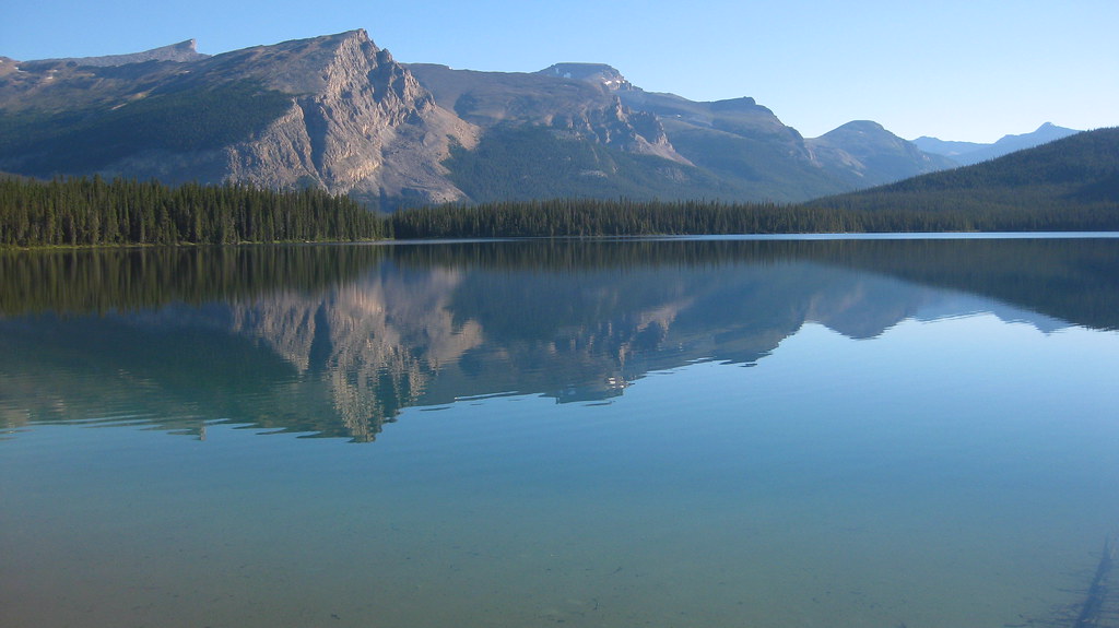
challenging day, and 3) dogs off leash. Our destination was Pinto Lake
via Sunset Pass. The campground is just outside of the national park so
dogs were no problem.
The trail to Pinto Lake via Sunset Pass starts in Banff National Park along the Icefields Parkway halfway between the towns of Banff and Jasper.
We/I assumed, incorrectly, that the place would be largely deserted,
despite it being a long weekend, because the trail head is remote
compared to others in the parks. Besides being a popular trail with
backpackers, there also is a
horse packing outfitter at the pass that was doing a brisk business. Thankfully the trail was in much better shape than many trails frequented by horses.
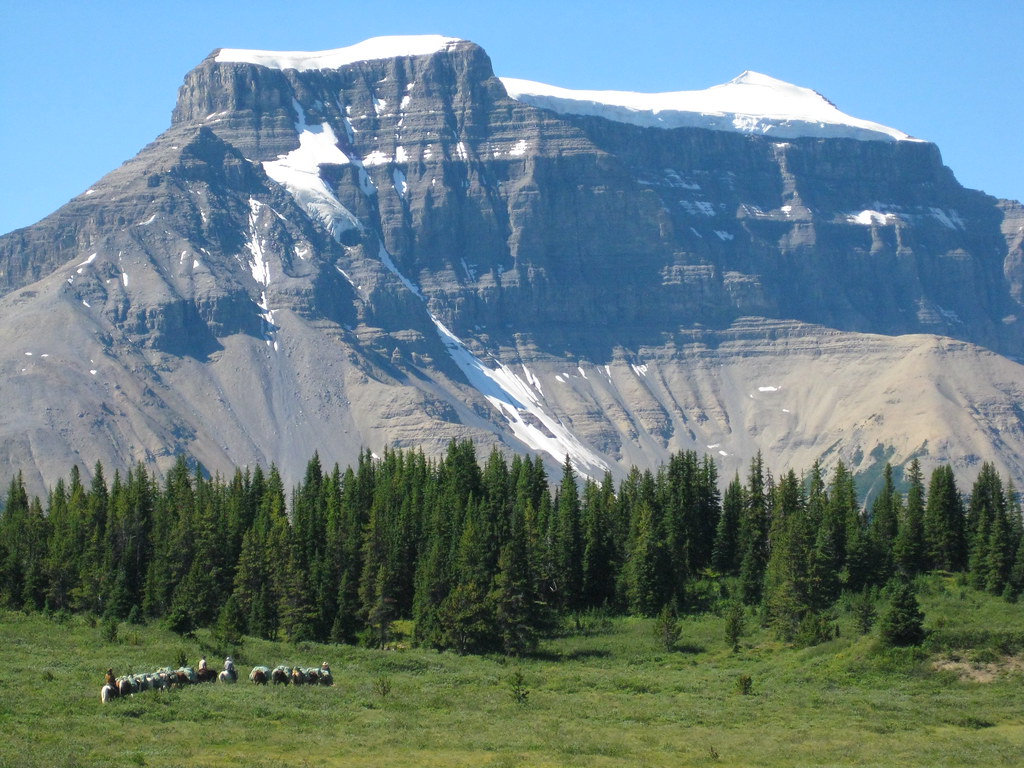
The trail quickly switchbacks up through the forest and enters the broad Sunset Pass at Norman Lake Campground. The views of Mt. Coleman (above) and Mt. Amery (below) were spectacular.
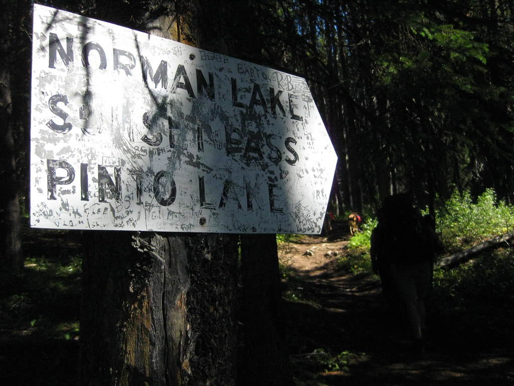
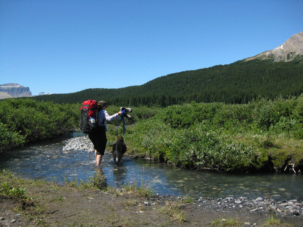
We found route finding on the pass to be less than straightforward. It might have been the branching trail, the unbridged water crossing, the thick willow, or the crappy map and route description we gleaned from the internets.
We intended to take the shorter of two routes to the lake. Turns out we zigged left when the lake came into view when we should have zagged right. In hindsight, 'zig' was probably the better choice.
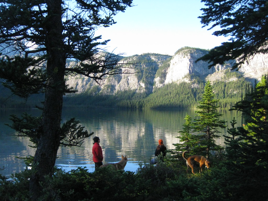
We got to the lake later than expected but with enough time to enjoy the evening. Unfortunately the mosquitoes drove us into our tents before sunset. The bugs weren't bad on our second night and we stayed up around the campfire well past nightfall.
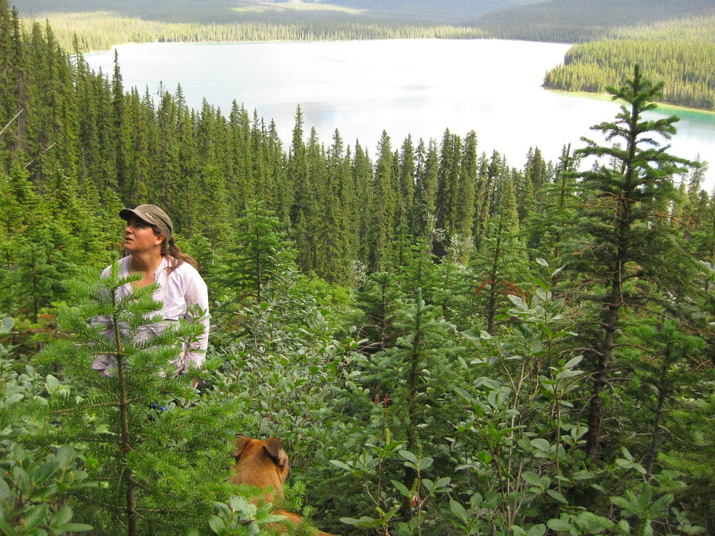
Given that it was a long weekend we didn't have to rush back to civilization the next day. We chose to hike the trail that loops the lake, including a side trip up to a large cave.
Perhaps not surprisingly to those that know me, I lost track of the trail and we ended up bushwhacking the majority of the way up. I should know better than to follow a dog that insists on leading but has no idea where it's going. Thankfully this ordeal was followed by a dip in the lake. The pool in the cave was aesthetically appealing but way too cold to contemplate swimming.
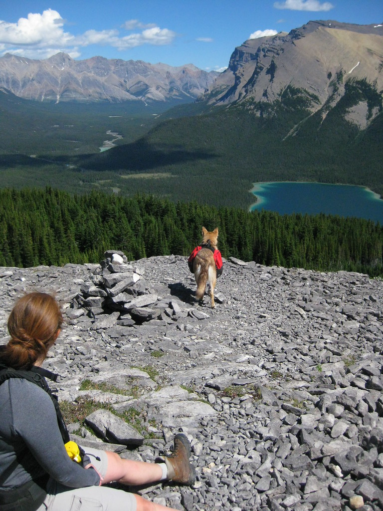
On the advice of several folks we chose to take the 'shorter' route back. Someone pointed it out to us from our campground on the northern shore of the lake. I had to ask twice, "You mean
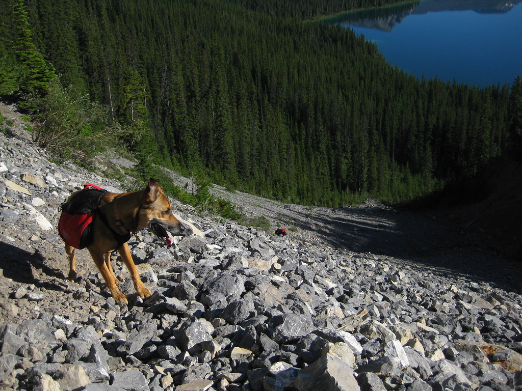
that scree slope?", I said pointing at a thin ribbon of talus bisecting an otherwise impenetrable headwall. In reality it's only shorter in distance, not time, unless you're comfortable climbing a long, loose, steep slope with a backpack.
In fact, this is only the second hiking trail I've been on where a rope was provided and the first trail where the rope was more than 15 feet long. Do not rely on the rope. In fact I would suggest avoiding use of that rat-chewed POS if at all possible. You'll see what I mean when you get to the top of it. I was going to yell the same to the Mrs. but she can kill a man with just a look. True story.
Had we zagged, this is what we would have seen if we looked over our shoulders before entering the scree slope. I think Mt. Amery is out of view behind Coleman's shoulder when taking the other route but don't hold me to that. The hike back to the trail head is all downhill from here.