Showing posts with label iron horse. Show all posts

Wednesday, August 18, 2010

Iron Horse Trail, Pt. 3: Bellis to Spedden

Let me put my bias up front. I did not want to run today. I didn't want to get out of bed, I didn't want to leave my coffee and my spot on the couch in front of the television, and I certainly didn't want to spend 6 hours in the heat plodding down a gravel trail. I went anyway. With Lost Souls around the corner I felt like I didn't have a choice. Besides, I usually find the necessary motivation once I'm running. Not today. All I could think about was being back on the couch. Keep that in mind when reading this trail report.

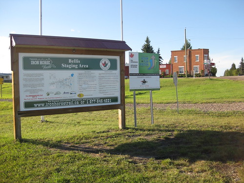
I arrived in Bellis around noon. The early morning rain clouds had moved east and temperatures were warming quickly.
IMG_0953
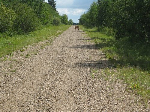
I had the trail to myself with the exception of a coyote, this white-tailed deer, and more goldfinches than I ever remember seeing on the prairies. This deer is actually looking away from me despite me being upwind and making considerable noise on the gravel path. I was within 15 m by the time it turned to look at me. I wonder if there's a slingshot season for white-tail?
IMG_0941
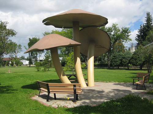
I arrived in Vilna in the early afternoon. Vilna is a member of the  "world's largest" club. This is a club that many small towns join so they can claim to be interesting, at least to someone. For Vilna, the claim is home of the "world's largest mushroom". They weren't really that big but I'm sure they are what they claim to be.
IMG_0945
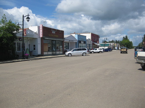
Vilna's wooden boardwalks and well-kept shop fronts on the main street gave the town a pleasant, old-timey feeling. There were also people wandering about and, apparently, enjoying the weather, which brought life to the town. Many of the smaller towns I've passed through appear deserted except for the manicured lawns.
IMG_0944
Unlike previous sections of the Iron Horse, most of today's run, including the entire section from Vilna to Spedden, closely followed highway 28. Because it was a sunny weekend, the highway was choked with weekend warriors hauling boats and trailers to or from some over-crowded campground. Even though the trail was deserted the drone of traffic was continual, which did not help my motivation.

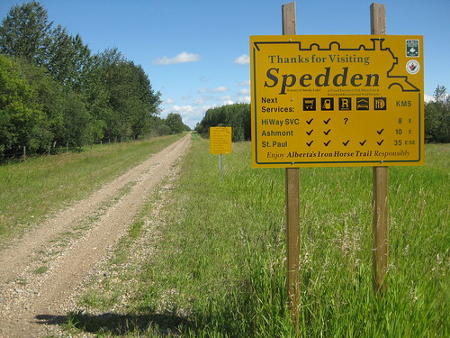
Unlike Vilna, Spedden did not give me any warm fuzzy feelings. I only knew I'd reached Spedden when I passed the sign on the far side of town that thanked me for visiting. I wondered if not first welcoming me was an oversight.
IMG_0948
I needed supplies for the return trip so I walked into the only roadside building that I saw hoping that the open sign in the window meant it was a store. Turns out it was a store. It was also a meeting hall for the Secret Society of Something-or-Other and I was interrupting. The half-dozen people that were sitting around a table talking and laughing quickly dispersed. I grabbed salty items and water from the shelves while an older man wearing an apron, presumably the store owner, stared intently at me as if trying to cut me in two with his laser vision. Yikes! Maybe the lack of a welcome sign was not an oversight. I lay on a bench at the nearby ball diamond to refuel and have a short nap before starting the return trip to Bellis.

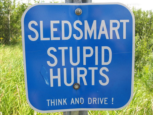
Words of wisdom on the trail. These need to be posted in avalanche country.
IMG_0947

Thursday, July 29, 2010

Iron Horse Trail, Pt. 2: Smoky Lake to Bellis

This trail report is several weeks overdue. I've been on a taper, which is like taking away my ritalin, so I've been distracted. Mostly ski-porn. Yes, I do dream about skiing 12 months of the year. Needless to say many of the details of this run have faded so there are more pictures than text.

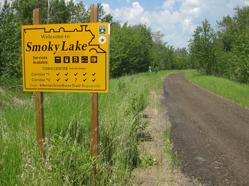
I started out at the old train station in Smoky Lake.
IMG_0826
To my surprise, Smoky Lake is also home to a strong pumpkin growing tradition. The things I'm learning about Alberta...
IMG_0828
This section of trail was much nicer than Smoky Lake to Waskatenau. The folks in Smoky Lake must think so too. They don't even recognize the existence of points west.
IMG_0853
The trail passes through more farmland, of course,
IMG_0836
but it's not as straight as an arrow
IMG_0832
or flat as a pancake (although the trail itself is still pretty flat).
IMG_0831
However, the trail also passes a large wetland that was teeming with red-winged blackbirds, black terns, sora, lesser yellowlegs, and several species of ducks. This family of mallards was hoping to go undetected.
IMG_0835
And it crosses a protected forested region, the Bellis North Natural Area. A sign claimed it to be 'a public land being protected in a natural state'. The numerous ATV tracks criss-crossing the fragile sandy soil had me questioning what exactly that mean. Still, it was a nice change of scenery.
IMG_0841
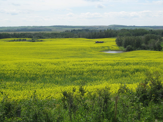
There was colour on the landscape, too, which also made this section of the trail more pleasant to run. Canola is a popular and colourful crop in this region
IMG_0838
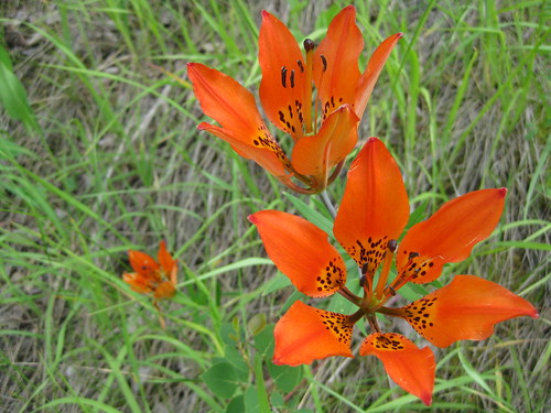
and the beautiful tiger lilies were just starting to bloom.
IMG_0849
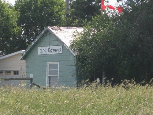
Smoky Lake to Bellis was 24 km. Don't count on resupplying in Edwand. I wasn't entirely sure it existed until I saw this old CN building hidden behind a tree on my return trip.
IMG_0846
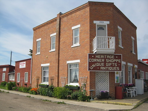
Don't count on too much in Bellis either, particularly if you arrive past late afternoon, which is when the antique/convenience store closes. Also don't bring any bills larger than $5 or you'll be forced to buy a ridiculous amount of pop just to get a cold drink. It was pretty good pop though. I was told there was a gas station on the highway that was open later and had a better selection of food and drinks but I didn't venture further.
IMG_0844
"You ran from Smoky Lake? Why?"
"For fun," I replied to the clerk in Bellis.
"That doesn't sound like fun. Sounds like work."
"Well, it's a different kind of fun."
What was I suppose to say?


The shop closed 10 minutes after I arrived. The departing clerk shook her head at me sitting on the sidewalk working on one of my five cans of soda. I watched her climb into her car, drive to the nearest house, which was less than 100 m away, pull into the garage and walk into the house.

It wouldn't have mattered what I said.

Tuesday, June 22, 2010

Iron Horse Trail, Pt. 1: Waskatenau to Smoky Lake

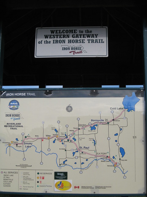
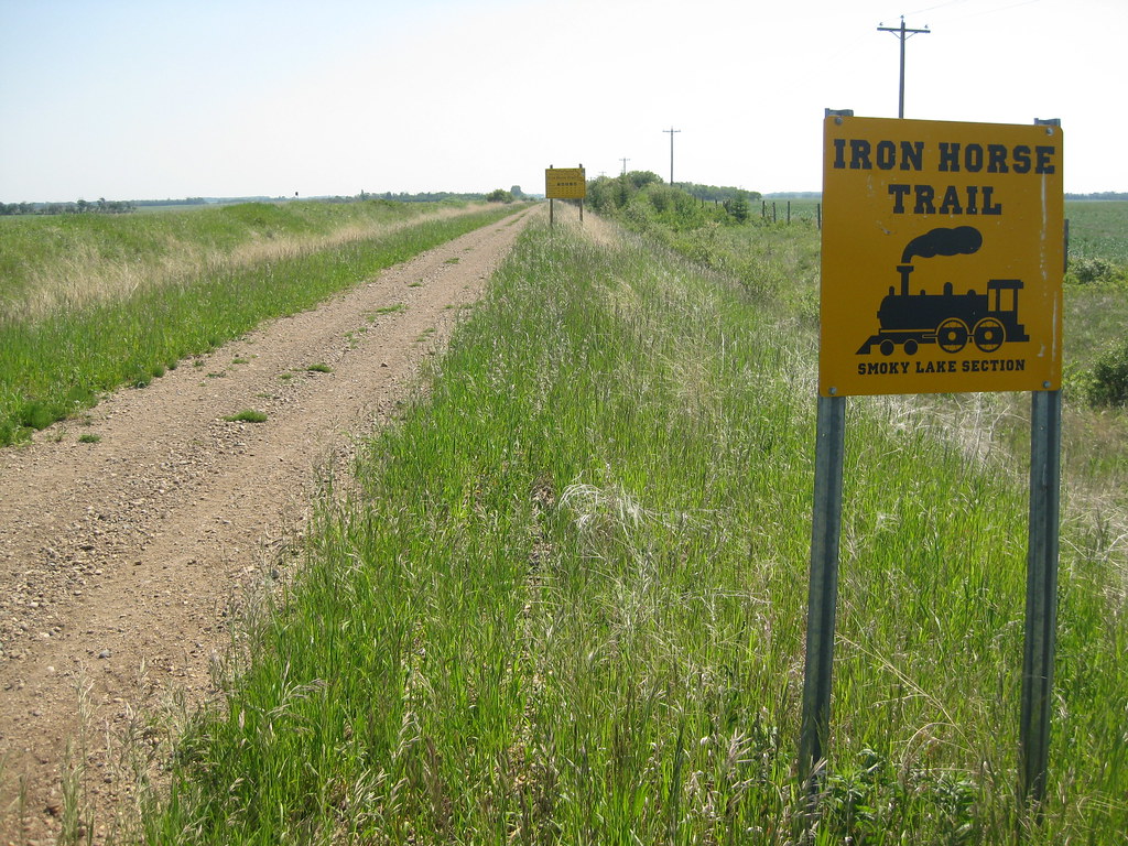
Ever since I completed the Iron Horse Ultra I've been wanting to explore more of the Iron Horse Trail. So, over the next several months (or years) I will endeavour to cover the full 300 km from west to east.
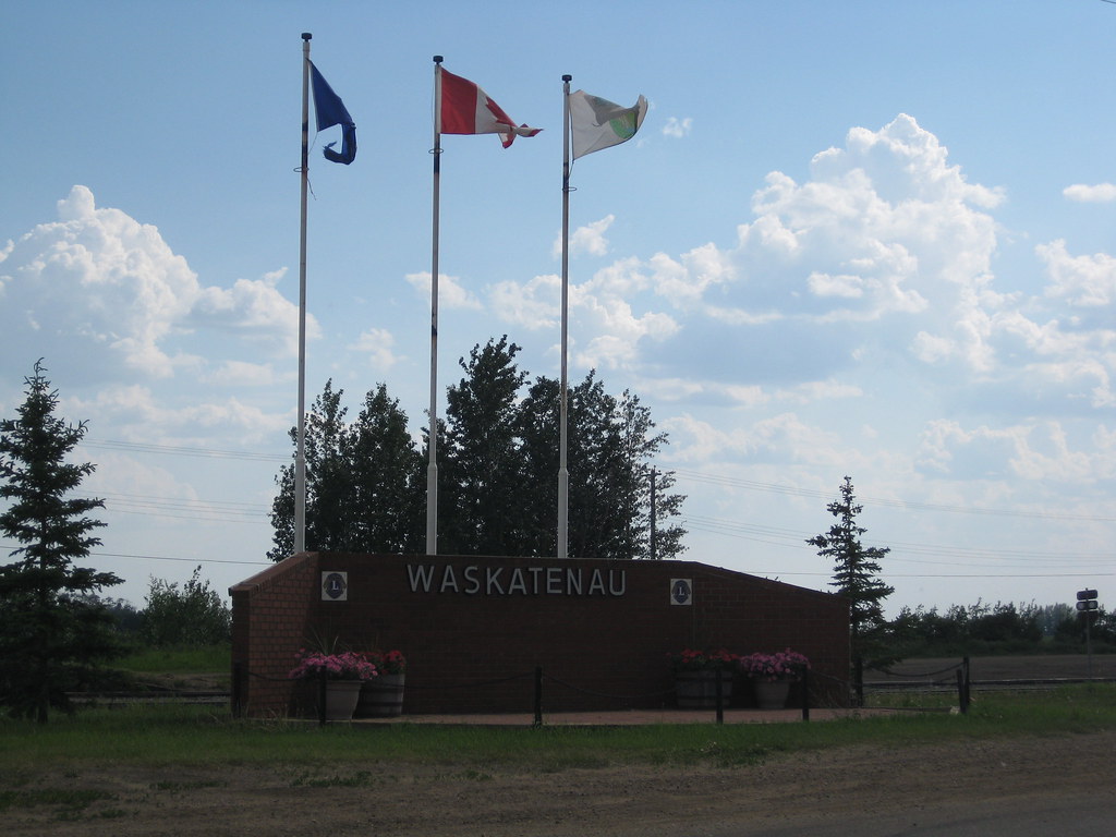
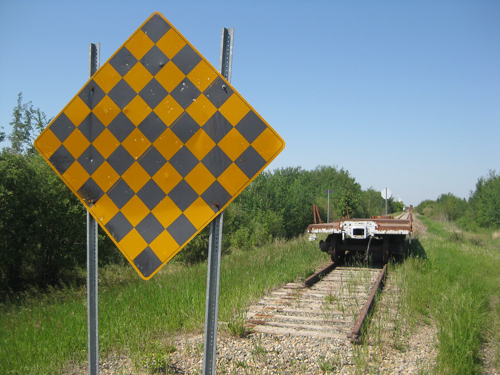
 I set off on Sunday from the eastern-most end of the tracks in the town of Waskatenau.
 
I got a late start so the temperature was already above 20C when I set out. Because the forecast was for 28C, my only training goal for the day was to pee. Sounds simple enough, right, maybe even unavoidable? Not necessarily so, especially when the temperature climbs. Running in the summer heat is something I have little experience with and that may prove to be the most important factor deciding the outcome of my next two races. Distance running has been described as 'an eating and drinking contest with a bit of running thrown in'. Fueling, and in particular hydration, is extremely important. It's also a real struggle to continually stuff food and fluid into a stomach that is constantly in motion without threat of a revolt. I'm hoping this is something I can train for.

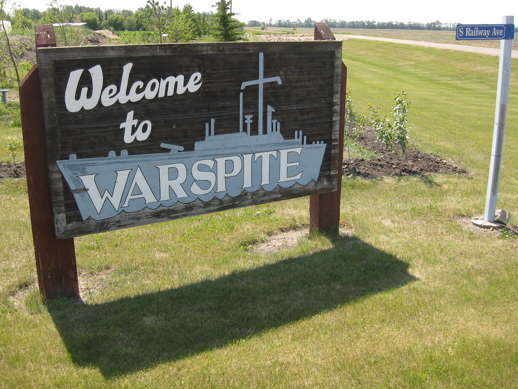
The Iron Horse, at least in this region, is as flat and straight as you might expect a rail bed-come-trail to be. It's so straight, in fact, that I passed through the town of Warspite (11 km from Waskatenau) before reaching the first bend in the trail.
The trail beyond Warspite was lined with thicker and taller trees. This was functionally irrelevant on my outbound leg when the sun was high in the sky. The trees did provide some sporadic shading later in the afternoon that allowed me to occasionally escape the sun on my return trip. There also were lots of birds and deer in the trees, which was a nice distraction from the farm fields.

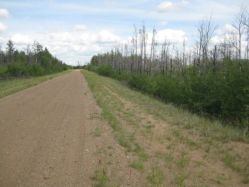
The trail was in great shape but I can't say that it was a great running trail, not this first leg at least. The Iron Horse was designed for snowmobiles and ATVs, not runners, which meant the footing was less than ideal. From Waskatenau to past Warspite the gravel was coarse and the bottoms of my feet eventually became sore from the constant jabs through the soles of my shoes. Between Warspite and Smoky Lake the gravel turned to sand. The foot was loose in spots but traction could be found on the edges and in the worn tracks. Trail consistency was at its best just west of Smoky Lake. However, there was an offensive smell of oil that was overwhelming at times. At first I thought the trail was surfaced in recycled asphalt that was melting in the hot sun but it was probably just treated with something. Either way, I was glad to spend little time on it.
My overall impression of this first leg was mixed. It wouldn't be my first recommendation to runners because of the rockiness and sore feet issues. Among self-propelled sports, this leg might be better suited to cycling or x-country skiing. You also require an appreciation of prairie landscapes. Still I wouldn't discourage anyone from running it. The novelty, lack of crowds, and proximity to Edmonton make it worth the trip. Just carry lots of water. Sadly, today's training goal was a failure. I consumed 6 litres of water, nuun, and gatorade over the course of 4.5 hours and I returned less than two shot glasses of fluid. All that remained of all that liquid was a thick salt crust on my hat, shirt, and shoulder straps of my backpack. I'll hope for cooler racing temperatures while I continue my hot weather training.

Wednesday, May 5, 2010

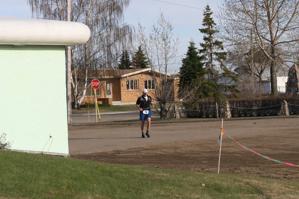
Iron Horse Ultra

This was my first 'real' ultramarathon. At 100 km, the Iron Horse Ultra was nearly double the furthest I'd ever consecutively run. I did complete the Frozen Ass 50 k in February, but that was really just an extended marathon and part of my weekly training for this race.

This was a perfect first race for me. I run to explore and this course continually had new and interesting terrain that was challenging without being ridiculously hard. (Disclaimer - I grew up on the prairies and I still feel a special connection to these landscapes like possibly only a prairie person can.) There were stretches through valleys, across fields, along river banks, gravel roads, power lines, and forest trails. Due to a last minute rerouting there was even a 100 m stretch where there was no trail, just hummocks of grass separating pools of water.

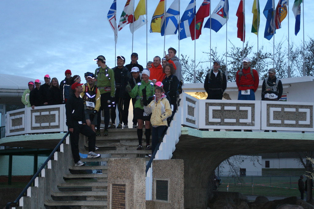
We started at 6 am with a group photo on the UFO landing pad before walking the 2 blocks to the actual starting line on the reclaimed CNR railway bed.

The first half of Leg 1 followed the old railway bed. Thankfully the previous day was warm and windy, which dried much of the rain and snow that fell earlier in the week. Still the rail bed was ridiculously muddy in spots, which made me very nervous. It was the kind of mud that sticks to your shoes like glue and adds pounds to each step. I didn't train with ankle weights and I doubted my ability to make the first aid station in such conditions.

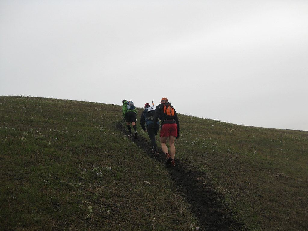
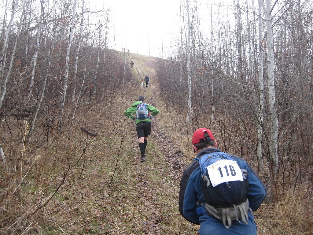
The mud ended when we climbed out of the railway valley.

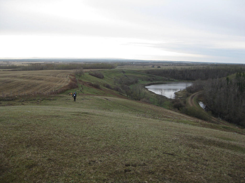
The view's improved, too - prairie folks like to see the horizon.

At this point we began a series of ascents and descents as trail followed the valley to the first aid station.


Leg 2 was the least interesting overall. Much of this leg was an arrow-straight gravel road that continually climbed at an angle that was steep enough to be tiring but was not so steep to justify walking.


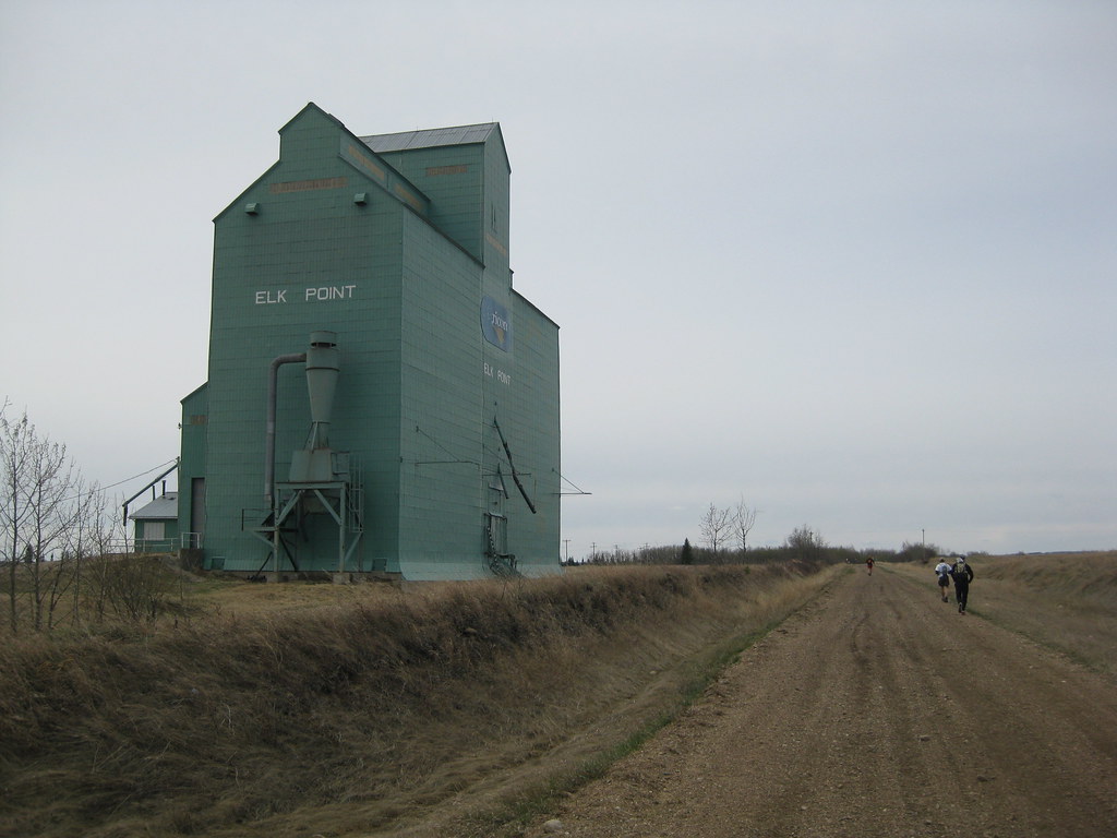
Leg 3 zigzagged through a variety of habitats including a trip up Moose Mountain and a beautiful stretch along the shores of Moosehills Lake. The leg ended by turning east toward St. Paul and following a gravel road into the town of Elk Point.

From Elk Point the 100 milers turned southeast towards Lindbergh while the rest of us headed toward the finish line. I changed my shoes at the aid station to cope with a hot spot on my heel that I think was a combination of the heel-tugging mud and the camber of the road. Other than that minor inconvenience I was feeling good and was excited about the possibility of finishing before dark.

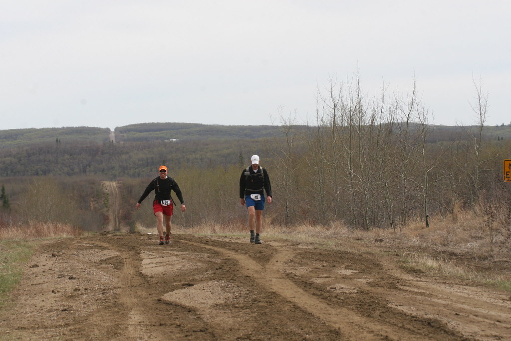
Much of Leg 4 was also a road of sorts that gradually climbed over much of its length. Now that finishing wasn't a question I felt a little less guilty about walking some of these hills.

We left the aid station to start the fifth and final leg on yet another gravel road. Thankfully (and surprisingly) I never met a car on any of these roads so they were really more like broad trails.

It was at this point when I was very happy that I wasn't running 100 miles. Not surprisingly, I was tired and my hips and knees were sore from pounding on the downhills of the roller coaster gravel roads. However, I could see the many steeples of St. Paul, which gave me the motivation to run hard to the end.

The roar of the crowd carries me to the finish line with an official time of 12:35:59, which was good enough for 5th place amongst soloists.